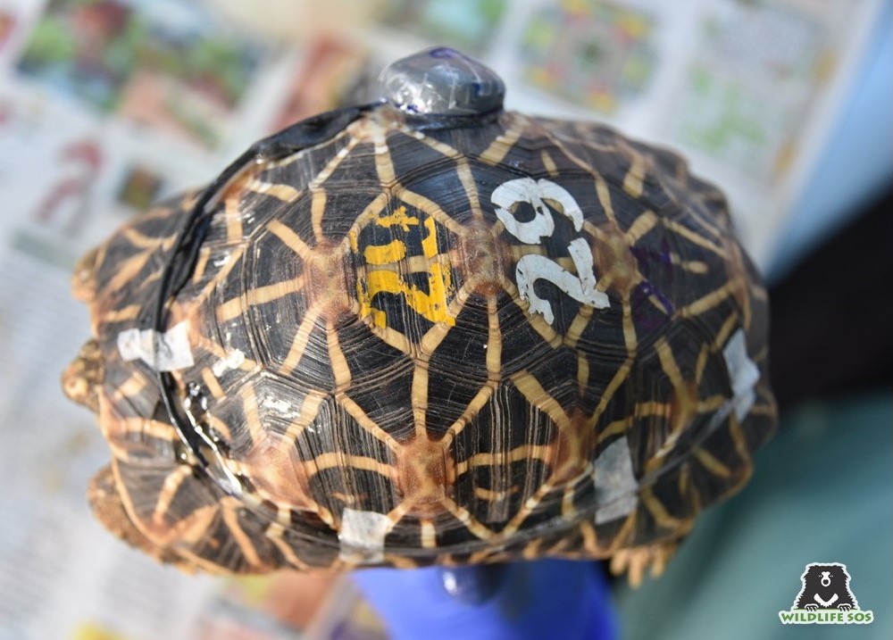
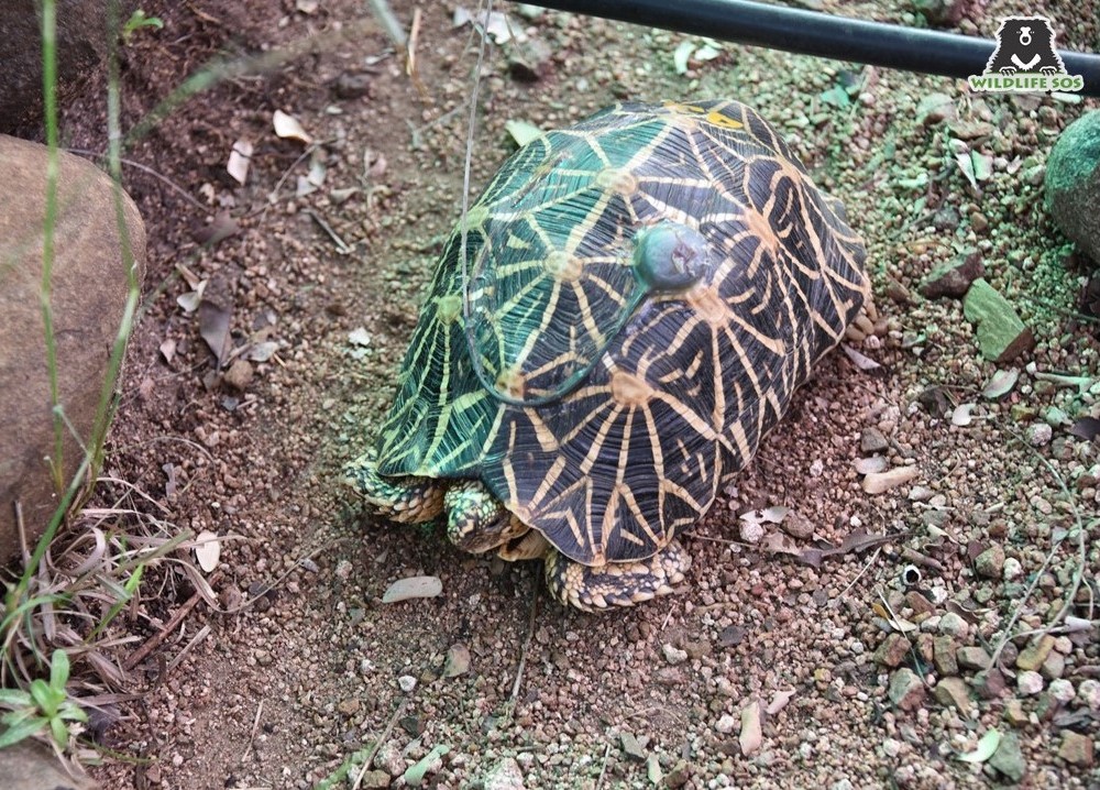
Wildlife biologists make use of two kinds of technology to study and track wildlife and birds, Radio-Telemetry and GPS (Global Positioning System). VHF Radio-telemetry (VHF = very high frequency) is older than GPS and has been used to study wildlife since the 1960s. This technology makes use of a transmitter and a receiver and requires field biologists to be in the field to collect data. The wildlife study subject is fitted with a “transmitter.” These transmitters can be fitted to the animals in multiple ways including by use of a collar, an ear tag, wing tag or in the case of tortoises can be glued to their shells.
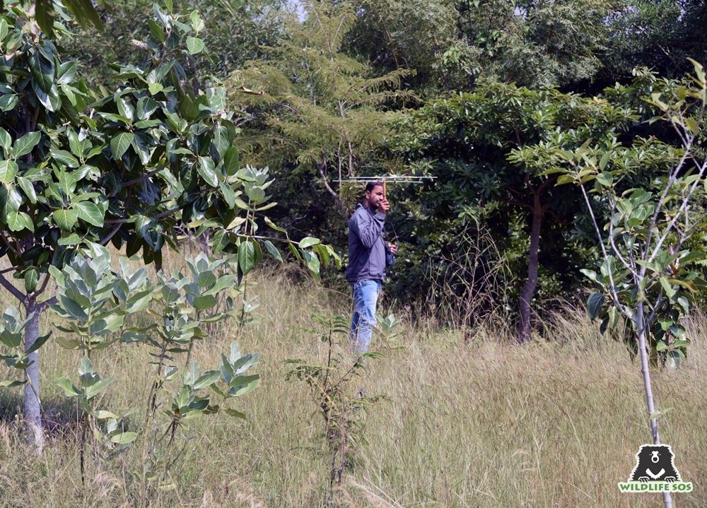
The transmitters emit a high-frequency radio pulse which is picked up by a receiver so the tracker can tell the direction of the animal as well as if they are getting closer to the animal. This way the animal can eventually be identified and located.
Wildlife SOS is using radio-telemetry to track Indian star tortoises that have been repatriated and released back to the wild. Radio-telemetry equipment is much cheaper than GPS equipment, but it does require that field biologists spend time in the field tracking down the animal. Also, radio-telemetry has a limited range that the receiver can pick up a signal from the transmitter, and the distance over which the receiver can pick up the signal can be greatly affected by the habitat. Especially if there are many cliffs, rocks or dense trees. However, on the Deccan Plateau, where the star tortoises have been released, we are having great success tracking the tortoises daily. Needless to say, tortoises don’t move as much as many other wildlife species and therefore are easier to track. And having field biologists in the field checking on the tortoises with their own two eyes is important to us so that we know how the tortoises are doing.
The GPS system is a more recent technology that uses satellites to provide geo-spatial positioning. It allows small electronic receivers to determine locations (longitude, latitude, and altitude/elevation) to high precision. Unlike the GPS in your mobile phone, tracking wildlife with GPS also requires location data to be transmitted back to a satellite. This two-way communication allows for real-time location data and tracking in remote areas. To make use of this technology, wildlife is fitted with a GPS system, usually a collar, so that their location and movements can be documented. Once downloaded onto a computer, the data can then be placed on maps. One of the advantages to GPS systems is that it can be set to collect points for a full 24-hour period and a biologist does not need to be in the field. However, the initial and ongoing costs for a GPS system are much higher than that of using a radio-telemetry system.
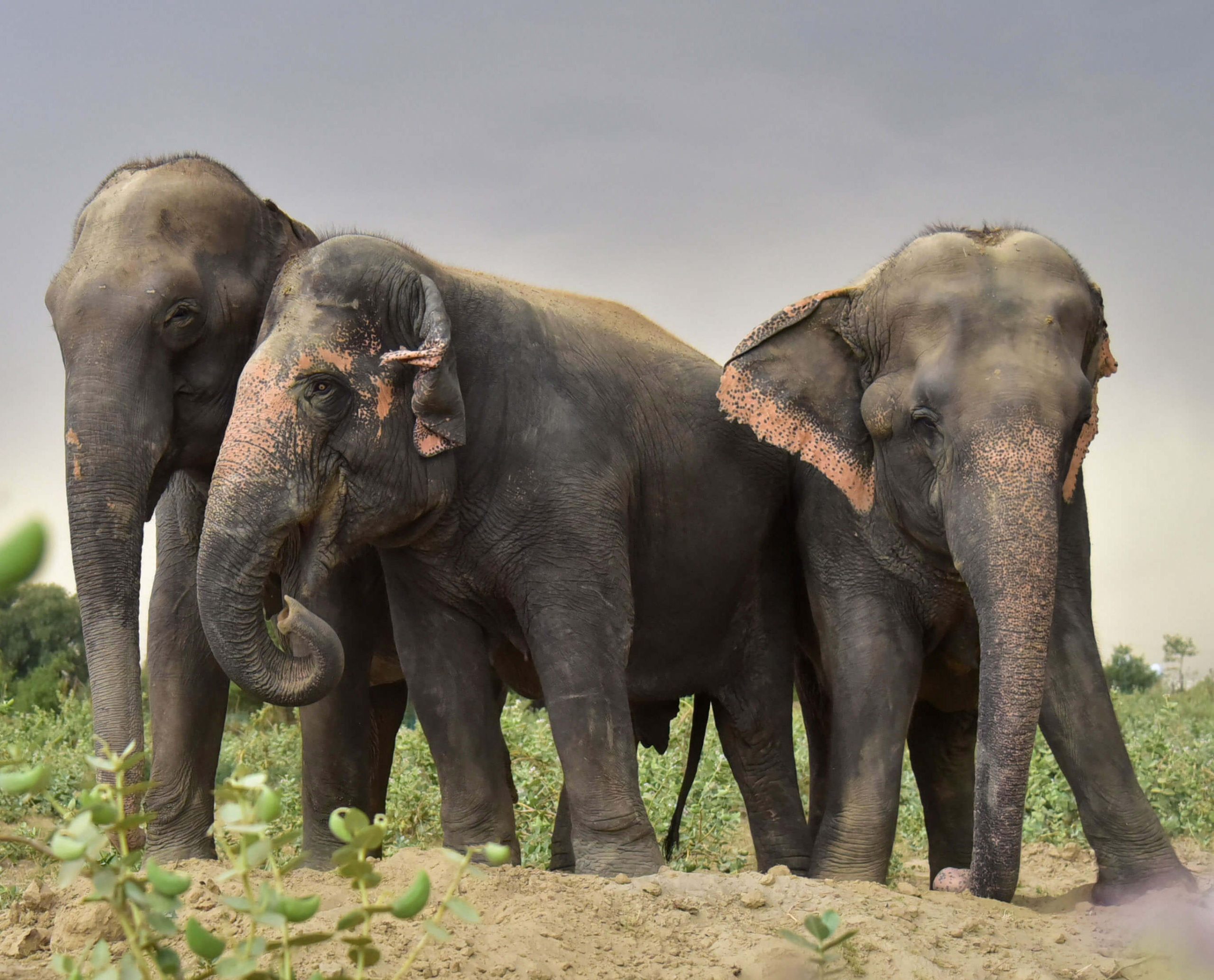
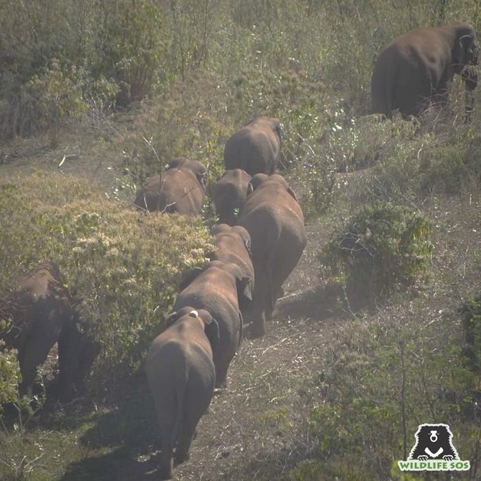
Wildlife SOS is presently making use of GPS technology to track a herd of elephants in central Chhattisgarh. Wildlife SOS can track the herd remotely and in ‘real time’. This active monitoring allows our early warning alert system (EWAS) to be effective by warning locals when the elephants are approaching their farmlands. If the EWAS indicates that a herd or an individual male is approaching farmlands, the Forest Department conveys this information to local communities using their existing radio channel and information distribution systems. People are able to get out of harm’s way while taking precautions to protect their crops and property. Additionally, the data that we download allows us to analyze elephant movement patterns to determine the seasonal use of the habitat and landscape by the elephants in this region. Based on the results, best practices for long-term human-elephant conflict mitigation will be identified.
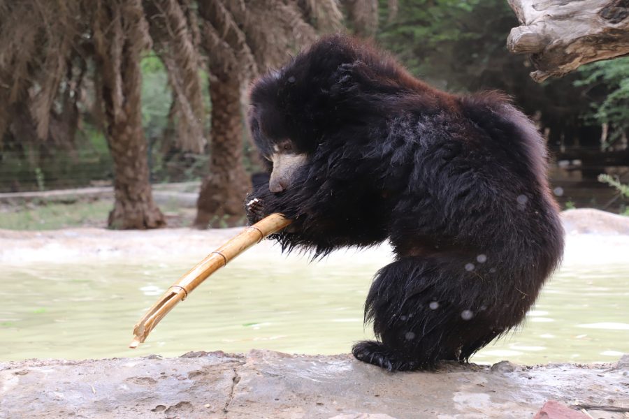
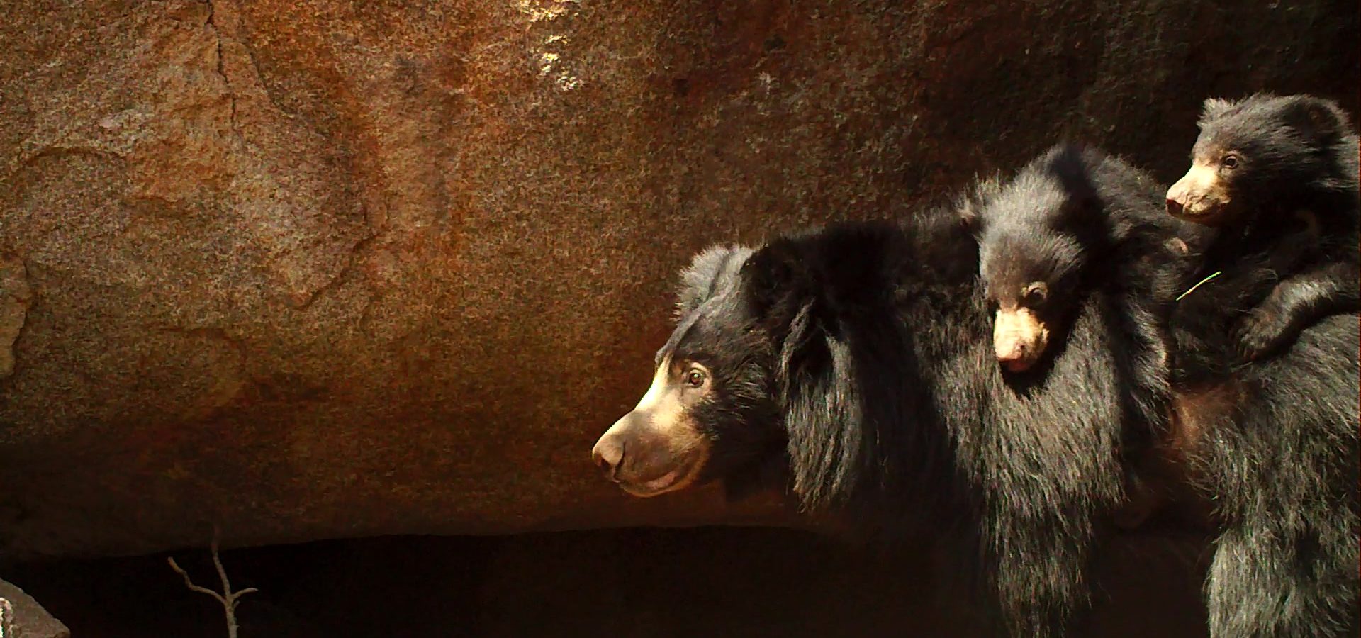
A final point about GPS technology — Recently Wildlife SOS had put a GPS ‘store-on-board’ collar, also equipped with VHF technology, on a sloth bear being released into Bannerghatta National Park. The store-on-board collars collect GPS data, but you can not access the data remotely. A program-based auto-release mechanism is fitted into the collar and connected with a date calendar. You must wait until the collar falls off the animal on the specified date, or the animal is collected to remove the collar and download the data. You can still track the animal in the meanwhile using Radio-telemetry. Since sloth bears are quite nocturnal and secretive it can be hard to track them. Initially reviewing our radio-telemetry data we thought that the bear almost never left the confines of the National Park. However, when we retrieved the collar and reviewed the GPS data, we learned that the bear had, after its initial release into the park, left the boundary of the Park quite a bit before eventually settling down. This highlights the usefulness of a GPS collar over that of radio-telemetry in some cases.
Now, when you follow the conservation efforts of the Van Devi elephant herd or the star tortoise reintroduction program, you will have an understanding of the different technologies being used to help conserve them in the wild!