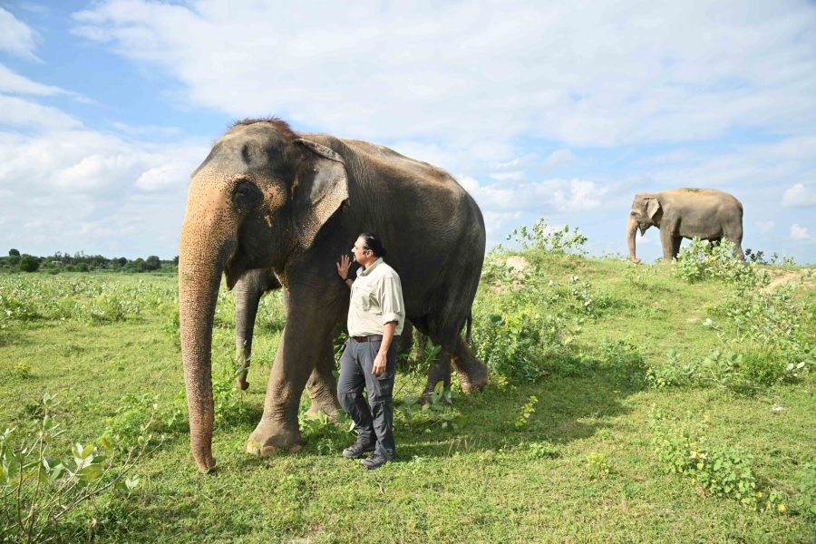
India, a diverse country with 19,500 dialects being spoken as mother tongues, and home to 28 states and 8 union territories….. Wait. That is always how an essay about India starts. Instead, let us take a deeper dive this time and view the Indian landscape from a completely new perspective.
According to estimates of paleontologists and evolutionary biologists, human beings emerged 100,000 years ago, and many thousands of years later civilisation as we know it today, came into being. With civilisations flourishing, the concept of kingdoms emerged, which evolved into territories and eventually the countries and states of today. Just like any other country, even India is divided into states which are demarcated by imaginary boundaries rather than strictly geographical ones.
So what we will try to do here is unlearn and re-learn India’s terrestrial geography. Instead of imaginary man-made boundaries, we are going to look at the ‘original’ India shaped by geological processes and moulded by geographical and topographical features, weather and climate, with diverse relief, terrain and landscapes. This analysis will talk about India’s biosphere keeping in mind the larger biogeographic divisions of the world. We know how a continent (the biggest classified landmass) is divided into countries, which in turn are divided into states, which then are further classified into cities and so on. Similarly, the Earth’s surface or land is also divided into such classifications, the biggest of them being a biogeographic realm or ecozone, which is further divided into ecoregions.
Knowing a biome
If we had to divide mainland India into these ecoregions, we would see that they are characterised by something known as ‘biomes’. India is known to have nine major terrestrial biome subtypes. But before we get to what those are, we should probably familiarise ourselves with a biome first. A biome is “a large, naturally occurring community of flora and fauna occupying a major habitat.” American plant ecologist Robert Harding Whittaker classified biomes based on meteorological factors namely, precipitation and temperature. Today, terrestrial biomes have four broad classifications shaped by its soil, vegetation, climate and wildlife, namely, forest, desert, grassland and tundra.
These biomes are again subdivided into 14 major subtypes, most of which are forest ecosystems. These regions do not follow political or anthropogenic boundaries and are spread across man-made international borders. So we have a new opportunity to look at the world map, and even whole continents and countries from a different lens – to rediscover the world in the literal sense.
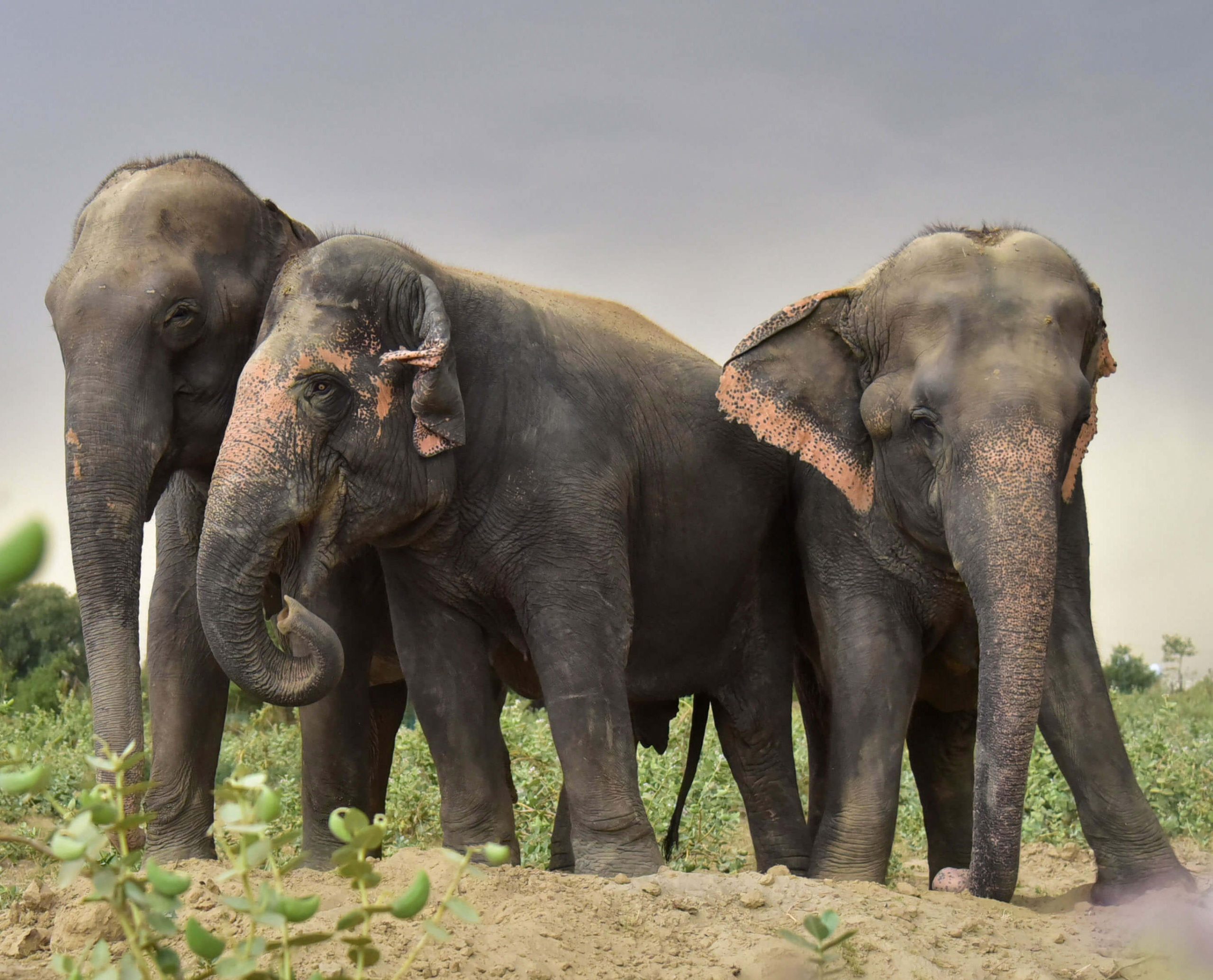
Given the varying climate and weather pattern found in the Indian subcontinent, it is not difficult to guess that India too has a diversity of biomes across all its ecoregions. As mentioned before, we can find 9 of the 14 major biome subtypes in the Indian mainland which include (a) tropical and subtropical moist broadleaved forests, (b) tropical and subtropical dry broadleaved forests, (c) tropical and subtropical coniferous forests, (d) temperate broadleaved and mixed forests, (e) temperate coniferous forests, (f) tropical and subtropical grasslands, savannas and shrublands, (g) deserts and xeric shrublands, (h) mangrove, and (i) montane grasslands and shrublands.
Diversity of the Indian landmass
In terms of area, the tropical and subtropical moist broadleaved forests biome subtype covers the largest land surface area of the country and are spread across 15 ecoregions. These include some of the richest evergreen, old growth forests dating back to antiquity, and are primordial in nature.
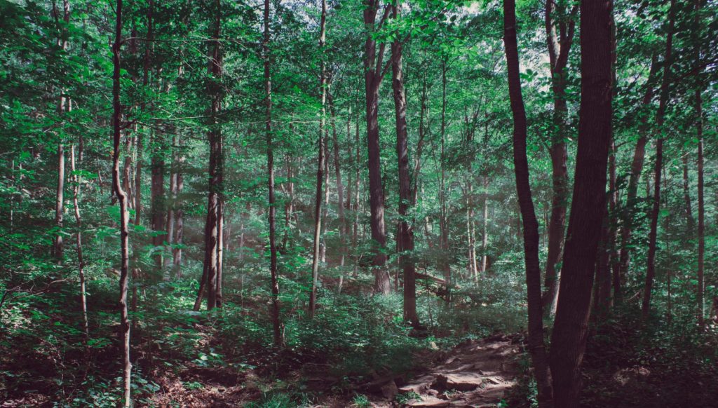
Out of these 15, five ecoregions namely the Anadaman islands rainforests, the Nicobar islands rainforests, the Mizoram-Manipur-Kachin rainforests, the North Western Ghats rainforests and the South Western Ghats rainforests are the only places endowed with tropical rainforests in our country. Rainforests cover an estimated less than 6% of the Earth’s land surface and scientists believe that more than half of all the world’s plant and animal species live in this ecosystem.
Not only that, these rainforests have a high rate of endemism and are home to species not found anywhere else on the planet. This changes the way we usually look at the Indian map because all these ecoregions are contiguous and spread across state borders (sometimes even international borders!). For instance, the Mizoram-Manipur-Kachin rainforests occupy parts of India, Bangladesh and Myanmar (erstwhile Burma) internationally. Whereas domestically, this ecoregion runs through the states of Mizoram, Manipur, Tripura, Nagaland, parts of Assam and parts of Meghalaya.
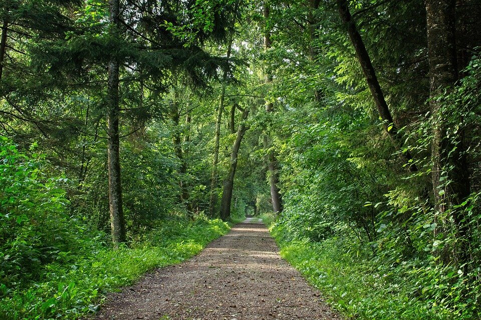
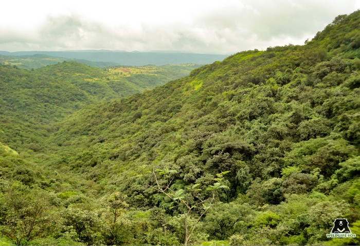
Similarly, if we come to the western part of the country, the North and the South Western Ghats rainforests combined cover an area of almost 53,500 sq km and include parts of Kerala, Tamil Nadu, Kerala, Goa, Gujarat and Maharashtra. Forests in these ecoregions are found in a relief varying from 3,200 to 8,900 ft and are said to include more than 30 protected areas.
Now gradually moving away from rainforests, we have a completely different vegetation type at hand – grasslands and savanna. The Terai-Duar savanna and grasslands ecoregion is characterised by the tropical and subtropical grasslands, savannas and shrublands biome, located at the base of the Himalayas. This ecoregion runs through India, Nepal and Bhutan but in the Indian mainland, we can find this vegetation types in the states of Uttarakhand, Uttar Pradesh, Bihar, West Bengal and Assam in a west-east direction. This region is colloquially called Terai in the Ganga basin east of Nepal and Dooars in West Bengal, Bhutan and Assam (hence the name Terai-Duar), and harbours the world’s tallest grasslands.
The Indian landmass is home to a host of other biomes and ecoregions which dot the entire country. The Eastern Himalayan subalpine conifer forests (ecoregion) covering parts of Arunachal Pradesh, Sikkim and West Bengal in eastern India and the Western Himalayan subalpine conifer forests (ecoregion) of Himachal Pradesh, Ladakh, Jammu & Kashmir and Uttarakhand in western India fall under the temperate coniferous forests biome.

Conversely, the Deccan thorn scrub forests ecoregion found in parts of Andhra Pradesh, Karnataka, Madhya Pradesh, Maharashtra, Tamil Nadu and Telangana and the Thar desert ecoregion stretching across Rajasthan, Gujarat and Haryana form a part of the deserts and xeric shrublands biome. Incidentally, this is the world’s largest terrestrial biome, covering 19% of the Earth’s land surface area. This also goes on to reflect that while the rainforest ecoregions face no shortage of rain, the areas falling under this particular biome are heavily rain-deficient (usually less than 250 mm annually).
But imagine if we started looking at our country solely based on ecoregion or biome classifications, these political borders would become meaningless. So the next time you are standing at the border of two states and wondering where you belong, just take a look around and simply observe the vegetation – that might give you a clearer answer.